Piri Reis (ca. 1466-1553)
Piri Reis was an Ottoman admiral, geographer and cartographer born between 1465 and 1470. He died in 1553.
Piri Reis full name probably was "Hajji Ahmed Muhiddin Piri" or "Ahmed ibn-i el-Hac Mehmed El Karamani".
The title "Reis" was a Ottoman military rank akin to that of captain.
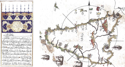
Before Piri Reis joined the Ottoman fleet in 1495, he was engaged in piracy with his uncle all over the Mediterranean Sea, particulary upon Spanish and Venetian citadeles and coasts. He is primarily known today for his maps and charts collected in his Kitab-ι Bahriye (Book of Navigation), a book that contains detailed information on navigation, as well as very accurate charts (for its time) describing the important ports and cities of the Mediterranean Sea. He gained fame as a cartographer when a small part of his first world map (prepared in 1513) was discovered in 1929 at the Topkapι Palace in Istanbul. His world map is the oldest known Turkish atlas showing the New World, and one of the oldest maps of America still in existence anywhere (the oldest known map of America that is still in existence is the map drawn by Juan de la Cosa in 1500). 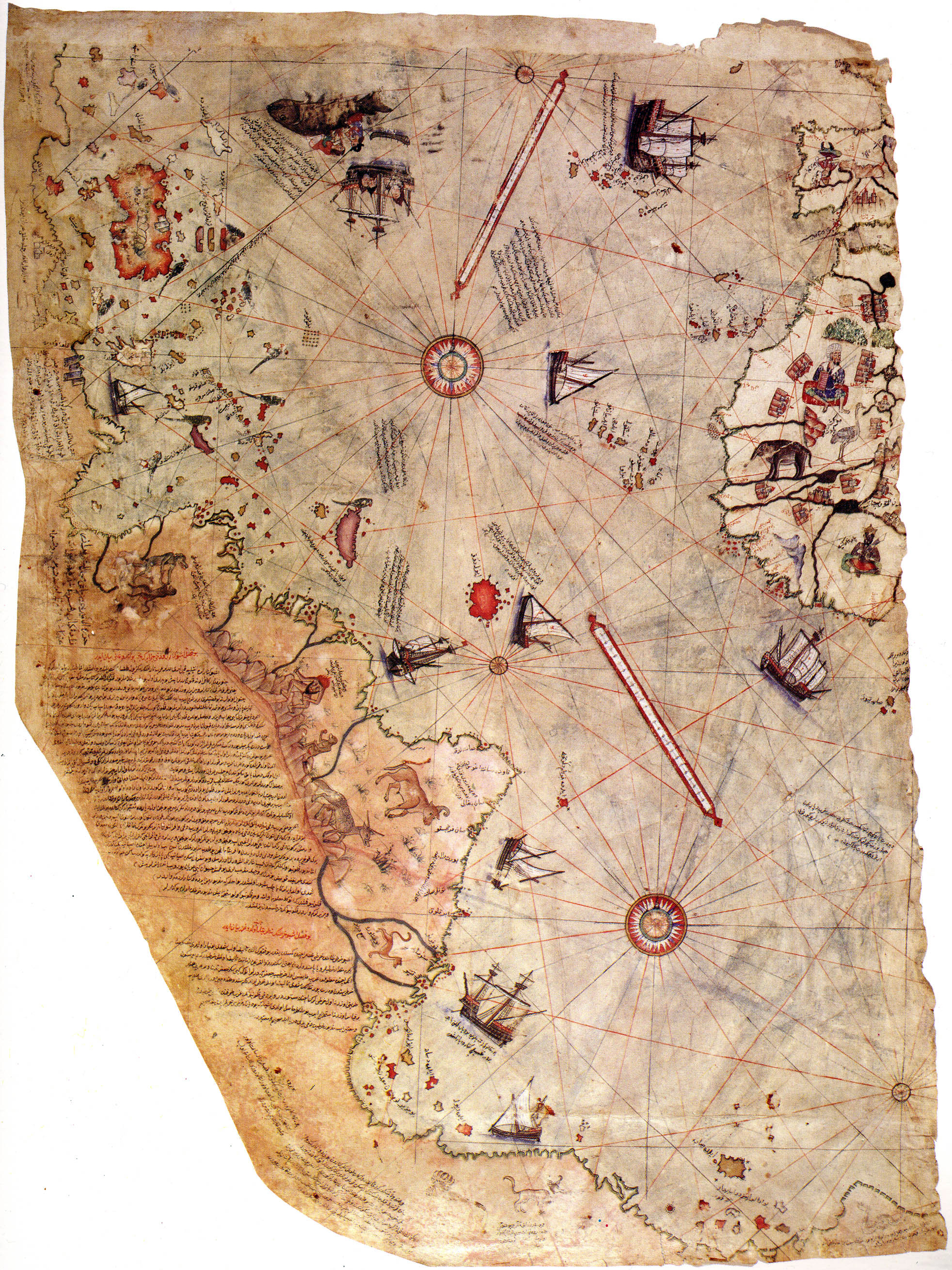 Surviving fragment of the World map of Piri Reis (1513) showing the Atlantic Ocean (Click on the image to get full-resolution picture) In 1528 Piri Reis drew a second world map, of which a small fragment (showing Greenland and North America from Labrador and Newfoundland in the north to Florida, Cuba, Dominican Republic, Jamaica and parts of Central America in the south) still survives. According to his imprinting text, he had drawn his maps using about twenty foreign charts and mappae mundi (Arab, Spanish, Portuguese, Chinese, Indian and Greek) including one of Christopher Columbus. Kitab-ι Bahriye (Book of Navigation)
Sources
| ||||
| Cover << Sail Away << Discoverers and Navigators << . | last updated: 29-Aug-2013 |